Walks -
To Diggle and Back Circular Walk
We hope you enjoy the walk.
Distance: approx 3 miles Approx time: 13/4 hours
Terrain: lanes and canal towpaths
Grade: Easy Parking: Brownhill Ctr, Wool Road,
Dobcross. OL3 5PB
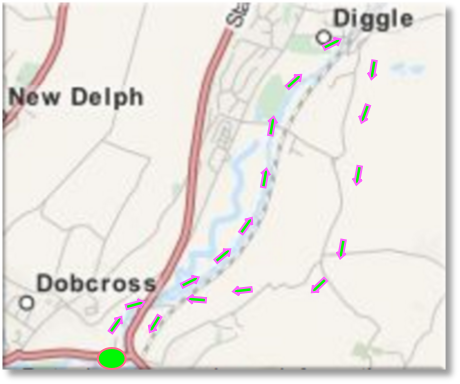
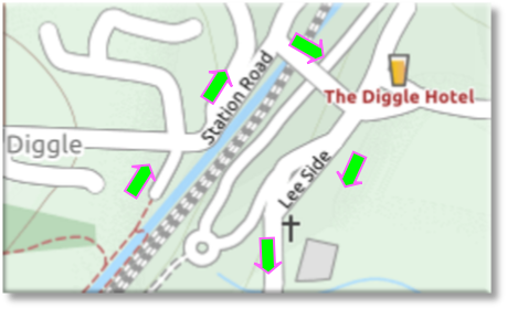
Route Overview Map
The walk starts at the rear of the Brownhill Ctr on the Huddersfield canal. Walk away from the viaduct towards Diggle. You will soon pass the Trans-
Trans-
Once past the first set of locks after Wool Road you are able to walk on either towpath. We prefer the left which gives good views down to Diggle.
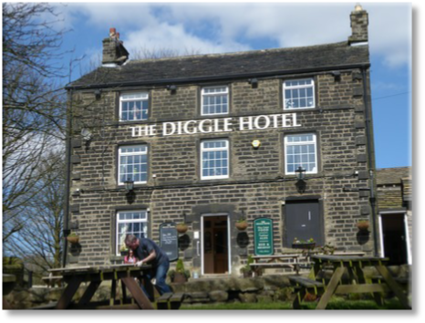
Leave the canal via the car park and walk up Station Road. Turn right and walk over the railway line. To your left you will see the 3 Standedge railway tunnels. Pass in front of the Diggle Hotel, originally a beer house, in 1859 it was granted a licence as a hotel and inn. The Diggle Hotel is at the foot of Boat Lane, used by the boat horses on their way over the moors while the canal barge was legged through the tunnel beneath.
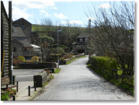
Before you begin your walk back along Leeside take time to have a look at the cottages in Diglea just past the Diggle Hotel. This is an ancient roman settlement from the early 13th century, Diglea is the oldest hamlet in Diggle. The name suggests a clearing (lee) with a ditch (dig), either used as a boundary or draining the land.

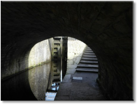
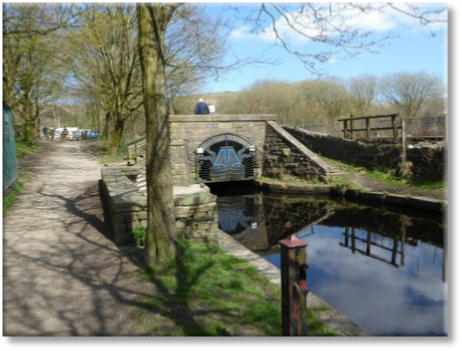
Eventually you arrive at the Standedge Canal Tunnel which is the highest, longest and deepest of its kind in the United Kingdom. Narrow boats had to be ‘legged’ through the 3 mile tunnel by men pushing along the sides of the tunnel walls with their feet. Now re-
Lee Side
Keep on Lee Side Lane past Kilngreen Church. After ½ mile you will join Ward Lane which joins from the right, keep left here. Taking a right here would take you back to the canal.
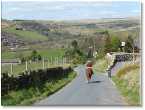
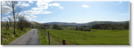
Continue along Ward Lane and enjoy the views back to Diggle and forwards to Pots and Pans.
Views back to Diggle
Turn left at main road.
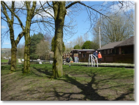
Start/Finish Brownhill Ctr
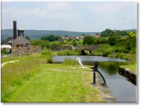
Under Wool Road bridge
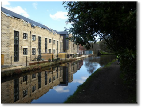
New houses being built.
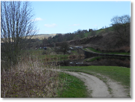
Views to Diggle and hills beyond
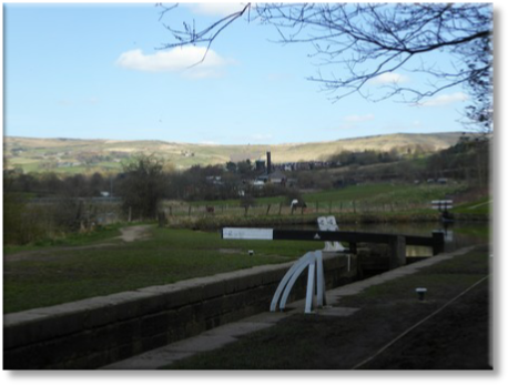
Diggle lock flight.
Huddersfield Narrow Canal was completed in 1811, this 20 mile long canal took 17 years to build at a cost of £396,267 -
Shaw’s Pallet Works
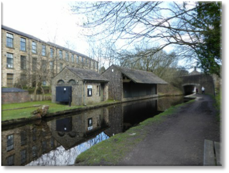
As you proceed along the canal a large mill will soon come into view on the left. This was originally part of a loom works known as the Cathedral, more commonly known in modern day times as W.H.Shaws Pallet Works. A substantial amount of original buildings however have been sadly demolished. Which is a shame as they were used for munitions in World War 1, and for making parts for Russian Subs in World War 2. Shaws ceased production in 2006. In 2016 the site is due to be redeveloped to house a new Saddleworth secondary school.
Grandpa Greene’s Icecream Parlour is a popular spot.
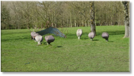
Canalside sculptures add interest.

Warth Mills – Named after a small field, it was originally built in 1780 and used as a fulling mill (a process in woollen cloth making). The buildings are now used by small local businesses.
After looking around Diglea turn down Lee Side.
Diglea
Standedge Canal Tunnel -
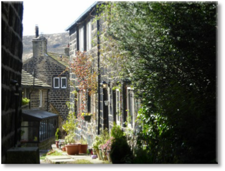
Typical Diglea cottages

Pots and Pans and Wharmton Hill just coming into view.
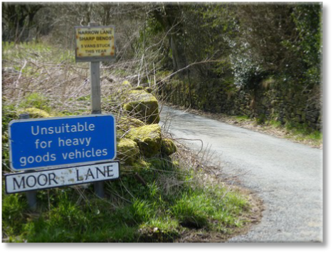
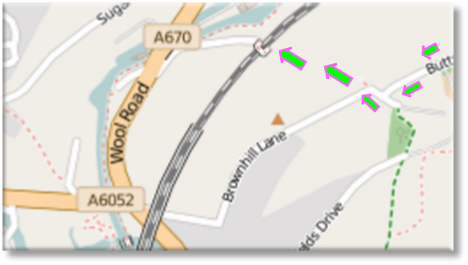
Turn right down Moor Lane which eventually becomes Butterhouse Lane and then Brownhill Lane.

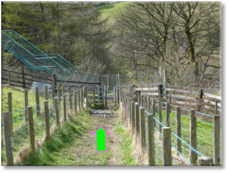
The last section of the walk is across fields down to the railway line and canal. Turn right onto Brownhill Lane and then follow the footpath sign on the right.
On the bridge look to your right and you’ll see the old Uppermill railway station which is now a private dwelling.
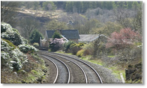
The old Uppermill railway station.
Once over the bridge a short walk takes you back to the main road. Turn left and walk back to the Brownhill Ctr.


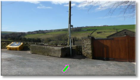
Follow footpath sign on right across the field to railway.

